The city of Florence is situated in a flat expanse, stretching approximately 40 km in length and 10 km in width, nestled within the heart of Tuscany alongside Prato and Pistoia. Surrounded by mountains, this land has a rich geological history, dating back hundreds of millions of years when it was entirely submerged beneath a vast lake. Approximately 100,000 years ago, the waters receded, finding an escape route through the Arno River, yet leaving behind a mosaic of lakes and swamps across the expansive flat terrain. It was only during the Roman era that hydraulic engineering efforts successfully reclaimed and transformed this land.
The Etruscans, an ancient civilization predating the Romans, left their mark in the Florentine region around the 8th century BC. Notably, settlements such as Fiesole, Artimino, and Gonfienti were established in close proximity to present-day Florence. Gonfienti, in particular, stands out as an exception to typical Etruscan preferences, as it was built in a flat area, contrary to their usual practice of constructing towns atop hills for defensive reasons.
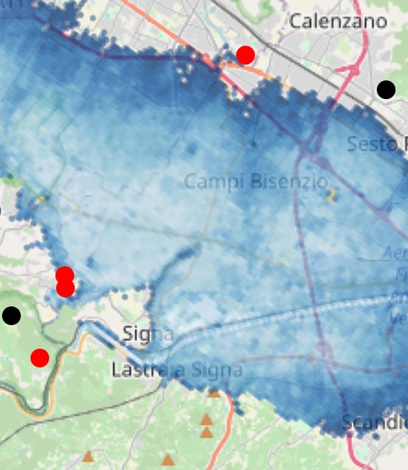
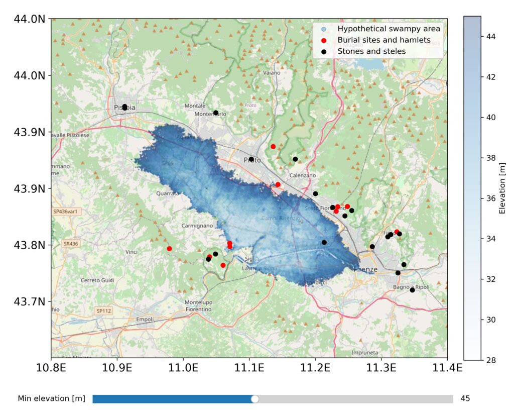
Leveraging the Google API for terrain elevation data in the Florentine flatland and employing the Cartopy Python plotting library, I endeavored to reconstruct the ancient water levels during Etruscan times. This involved analyzing 51,200 points within a 50 by 15-kilometer range, encompassing both the flatland and the encircling mountains. The resultant visual representation, created using Matplotlib and Cartopy, is interactive (when running the Python script), featuring a slider enabling adjustment of the hypothetical water level.
The map suggests that the water level likely did not exceed 45 meters above sea level, preventing “inundation” of significant Etruscan sites, such as burial grounds near Carmignano and Gonfienti. A more plausible scenario involves a lower water level. Despite the marshy terrain, there’s a likelihood of connections between sites within the flatland, such as those near Carmignano and Gonfienti. Notably, the map reveals an elevated path, strategically positioned above the depressed surroundings, potentially serving as a route across the flatland, traversing possible reclaimed areas.